

Well, the moment had finally come. I had spent quite a bit of time over the past few months tackling increasingly difficult hikes, and now it was time to conquer a fourteener.
Colorado has 54 fourteeners, that is, mountains that exceed 14,000 feet in elevation. They range from Mount Elbert near Leadville, though the highest of the fourteeners, considered the easiest, to North Maroon Peak near Aspen, though one of the shorter fourteeners at 14,014 feet, considered the most difficult (and the deadliest).
I had decided on one of the easier (and not deadly) fourteeners, Mount Bierstadt, as it is located approximately 60 miles from Lakewood, and it doesn't require more than 5 to 6 hours for ascent/descent.

Groovy high altitude flowers
Mount Bierstadt was also named after one of my all-time favorite American landscape painters, Alfred Bierstadt. In 1863 Bierstadt paid a visit to the area and sketched many of the peaks in the area which he then used to create paintings in his studio.

Convenient directional arrow points you the right way...up. There is no 7/11 store there though
From the parking lot at the crest of Guanella Pass it is 3 miles to the 14,060 foot summit of Mount Bierstadt. Guanella Pass is at 11,669 feet in elevation, so there is an altitude gain of 2,391 feet.

Sections of boardwalk span the swampy areas
Mount Bierstadt is located in the Mount Evans Wilderness area which is situated in both the Pike and Arapaho National Forests. There is no fee to use the hiking trails, and there are bathrooms provided at the trailhead.
However, there are no concessions or stores anywhere nearby, so it is important that water (at least 3 liters per person), some energy bars, sunscreen, and comfortable clothing that can be worn (and removed) in layers be packed for the hike.

High altitude flora
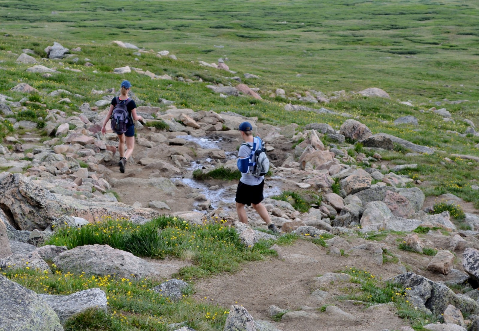
The first 500 or so feet of the hike is a slight descent into a small marshy valley. The trail is hard packed and wide in most areas, and there are raised boardwalks to allow for dry passage over the swampy parts.

Once Scott Gomer Creek is crossed then the actual ascent begins. The path is very well maintained, with tall lodge poles set in the ground that mark turns in the trail.

The trail gets steeper as progress is made, but there are a great many small switchbacks built into the path to allow for a somewhat easy hike.
I say somewhat because with every step the oxygen is getting thinner, and I saw a number of hikers along the way having to pause to deal with the slight dizziness that comes with the increase in altitude.

As experience had taught me that altitude sickness can be a serious problem, I had spent the past few months gradually increasing the altitude of my hikes, so I did not have to contend with any difficulty. Chalk one up for growing older and wiser!


The trail begins to get steeper, but is still well maintained
As with every hiking trail I've been on in Colorado, the path is exceedingly well maintained. In areas where there may be a problem with water runoff, rocks are used to divert water off the trail and to shore up areas that might become muddy.

Right about halfway up the mountain my ears had to be adjusted for the altitude. I figured I must have been close to 13,000 feet at that point.
The trail was becoming much rockier and less of a clear cut path, too, which, along with the altitude gain, slowed me down a bit.
There were 30 to 35 fellow hikers coming down or going up while I was on the trail. They ranged from toddlers being carried in papoose-like backpacks (I saw both a woman and a man with a kid in one of those dealios on their backs), to a 72 year-old man who told me he climbs Bierstadt 50 times a year.
The majority of hikers were young adults though, clad in REI or Northface head to foot.

The last mile gets a bit steeper...and rockier

Marmot J. Bluster wants to know when he's getting his own cartoon
The high altitude fauna include tiny members of the rabbit family known as pika, which are extremely quick and hard to photograph, and the much larger marmot, a type of ground squirrel about the size of a prairie dog (though not related to them).
Marmots are slower, and almost seem to enjoy being photographed.

Just scramble over these big rocks...
The last 1000 feet of the ascent is over fairly large rocks and boulders. This is where just heading toward what looks to be the summit seemed to be the best option, as a lot of time and energy was wasted looking for anything resembling an actual trail.

After the first rock field was successfully navigated a short, level area known as Saddle Point was reached. It's 200 feet plus or minus to the top from there, depending how winding the path I made for myself up and over the rocks was.

Damn, more boulders to scramble over
Surprisingly, it wasn't cold or windy as I made my way up the last few hundred feet to the top of Mount Bierstadt. I had anticipated at drop in temperature, but at no time did I feel the need to break out my sweatpants or jacket. It was surprisingly agreeable up there.

Finally! The summit of Mount Bierstadt! Top of the world Ma! It was an arduous hike, but worth every single ounce of effort given.
To the north, Mount Evans looms 200 feet higher than Mount Bierstadt. It's accessible via a route known as the sawtooth ridge, but that will have to be for another day, as I had neither the time nor energy for it.

There is a 360 degree view from the peak, and it is as spectacular as any I've ever had the pleasure to behold. The Rocky Mountains appear to go on forever in every direction, and that alone made the hike worth the while.

Budget cuts at the U.S. Geodetic Survey forced them to improvise survey markers
I looked around for the small brass disc that the U.S. Geodetic Survey usually embeds at the highest point of every surveyed mountain, but it was nowhere to be found. No doubt a short-sighted souvenir seeker made off with it.

After 15 minutes of taking in the fantastic view and reveling in the days accomplishment, I headed back down the rocks.
That actually proved to be a bit more of a challenging task than scrambling up them, as it was much more difficult to determine how anchored into the ground some of the boulders were when stepping down instead of up.

The way down the rockpile is a little dodgy in spots
Clambering down was also tougher on the feet, as it was easy to slip on the areas of loose smaller rocks. That made for a tedious 60 yards to Saddle Point.

Marmot J. Bluster's relatives are everywhere
Once off the rocks and through the lower rock field, the descent became much easier. Still a little dodgy in spots where the trail was a combination of loose dirt and gravel, but I made good time going down.

Just a short, downhill three-mile hike to the parking lot
All told, my first ascent of a fourteener was a rousing success. I highly recommend hiking up Bierstadt to one and all, especially if you're bored with the same old leg workout in the gym - this climb was definitely a leg workout, one I know I'm going to feel tomorrow...and probably the next day too!
here is a comment: ahem, Fucking Awesome! This blog is great!!! Keep it up my friend :)
ReplyDelete